Geodetic Surveyors and Mapping Specialists
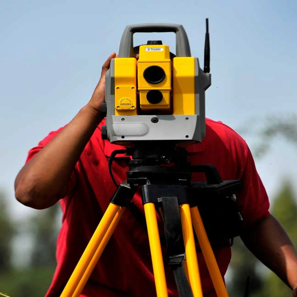
Geodetic Surveyors and Mapping Specialists measure large areas of the Earth with high precision using tools like GNSS (GPS), satellites, and laser scanners called LIDAR. They plan and lead survey projects, calculate exact positions and elevations, and check that all measurements and math are correct so roads, bridges, property lines, and utilities end up in the right place. They also manage mapping databases, update standards and equipment, and train other survey staff on advanced techniques such as triangulation, trilateration, and traversing.
Did you know?
Most states require geodetic surveyors to obtain professional land surveyor licenses, which involve passing state-specific exams and meeting education and experience requirements.
At a glance
Typical average pay
$72,200 Avg/yr
Growth
Fast growing
Top skill
Mathematics
Things to consider
Technology Proficiency
The field demands continuous learning of advanced technologies like GPS, GIS, and drone surveying equipment that are rapidly evolving in the American market.
Physical Work Environment
The job requires extensive outdoor work in various weather conditions and terrains, often involving travel to remote locations across different states.
Key responsibilities
Prepare progress or technical reports.
Provide training and interpretation in the use of methods or procedures for observing and checking controls for geodetic and plane coordinates.
Compute horizontal and vertical coordinates of control networks, using direct leveling or other geodetic survey techniques, such as triangulation, trilateration, and traversing, to establish features of the Earth's surface.
Verify the mathematical correctness of newly collected survey data.
Read current literature, talk with colleagues, continue education, or participate in professional organizations or conferences to keep abreast of developments in technology, equipment, or systems.