Surveying and Mapping Technicians
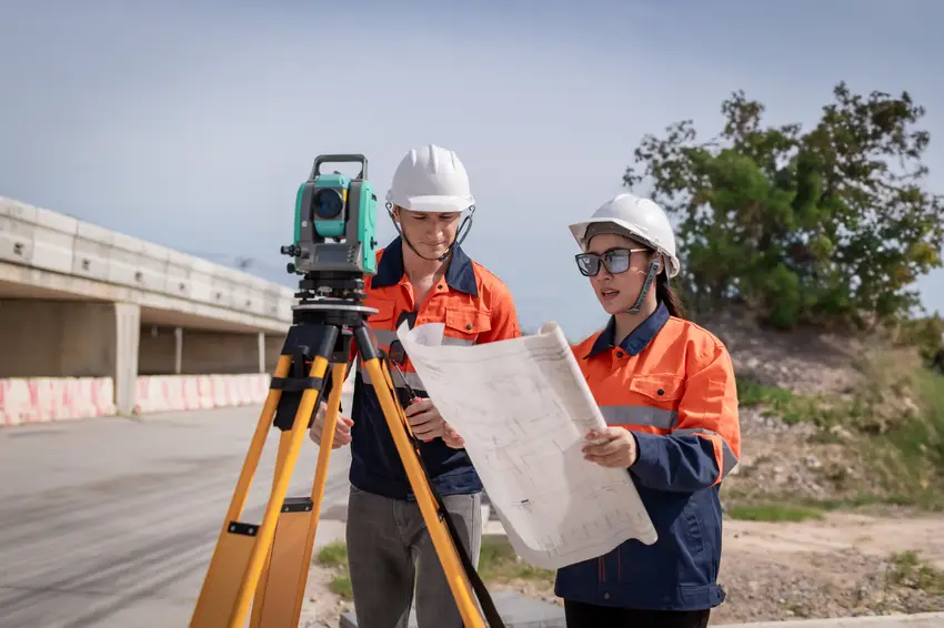
Surveying and Mapping Technicians collect precise measurements of land and create detailed maps using high-tech equipment like GPS devices and specialized software. They split their time between outdoor fieldwork, where they visit sites to gather data and set up surveying instruments, and office work, where they use computers to process information and create digital maps. These professionals work closely with surveyors and cartographers to produce maps that show property boundaries, elevation changes, and terrain features. The job combines outdoor adventure with cutting-edge technology, and many technicians enjoy the variety of working both independently in the field and collaboratively in team environments.
Did you know?
Most employers require an associate degree or certificate in surveying, geographic information systems (GIS), or a related field, with some states requiring licensure for certain surveying activities.
At a glance
Typical average pay
$54,000 Avg/yr
Growth
Fast growing
Top skill
Reading Comprehension
Things to consider
Technology Proficiency
Proficiency in GPS equipment, GIS software (such as ArcGIS), and computer-aided drafting (CAD) programs is essential for success in this field.
Physical Work Environment
The job involves significant outdoor fieldwork in various weather conditions and terrain, requiring physical stamina and the ability to carry surveying equipment.
Key responsibilities
Record survey measurements or descriptive data, using notes, drawings, sketches, or inked tracings.
Search for section corners, property irons, or survey points.
Enter Global Positioning System (GPS) data, legal deeds, field notes, or land survey reports into geographic information system (GIS) workstations so that information can be transformed into graphic land descriptions, such as maps and drawings.
Answer questions and provide information to the public or to staff members regarding assessment maps, surveys, boundaries, easements, property ownership, roads, zoning, or similar matters.
Complete detailed source and method notes describing the location of routine or complex land parcels.